Objective Netherlands
– Changing landscape 1974-2017
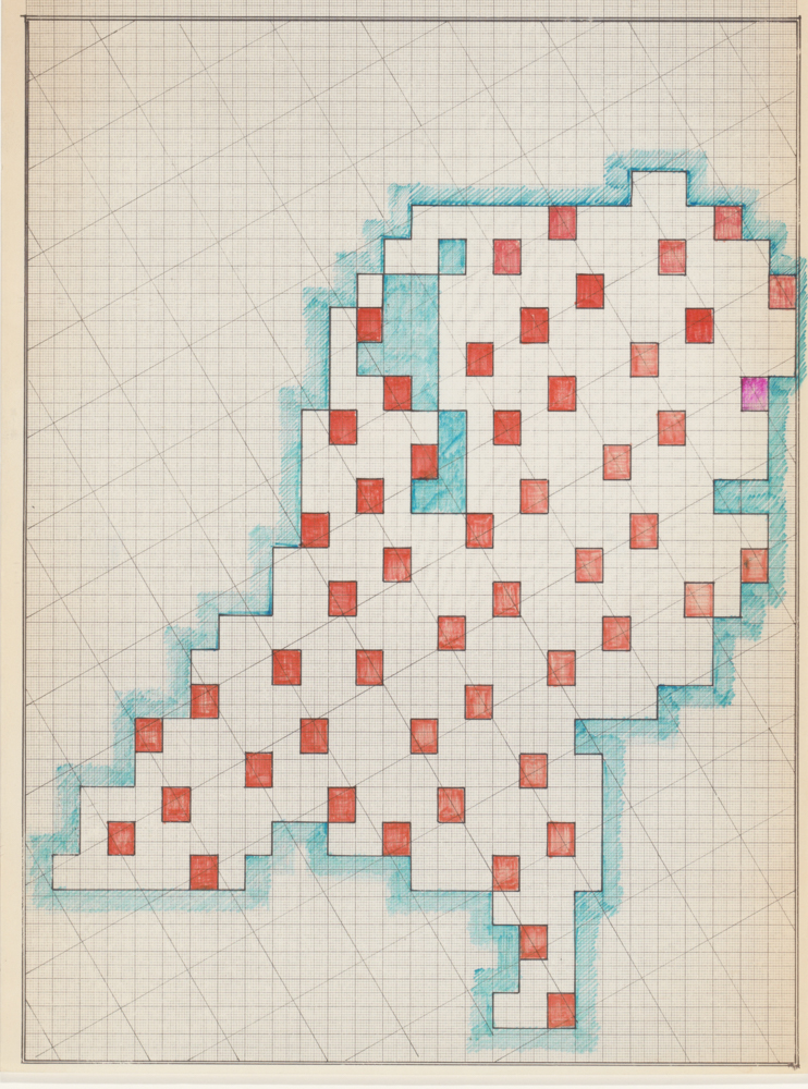
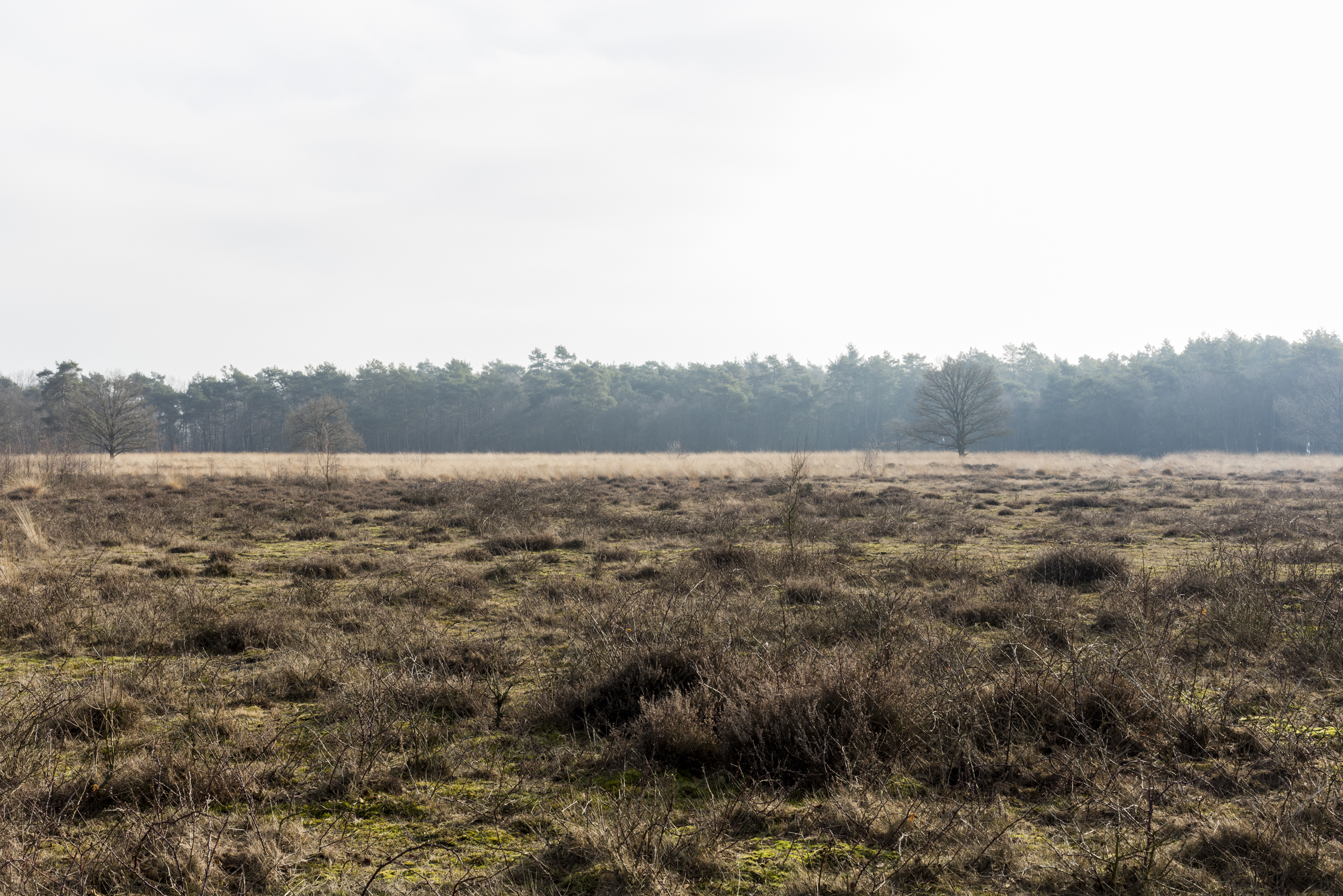
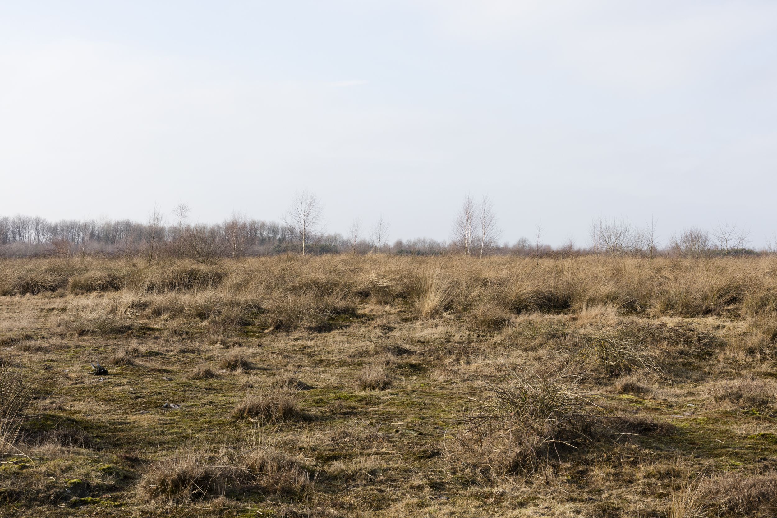
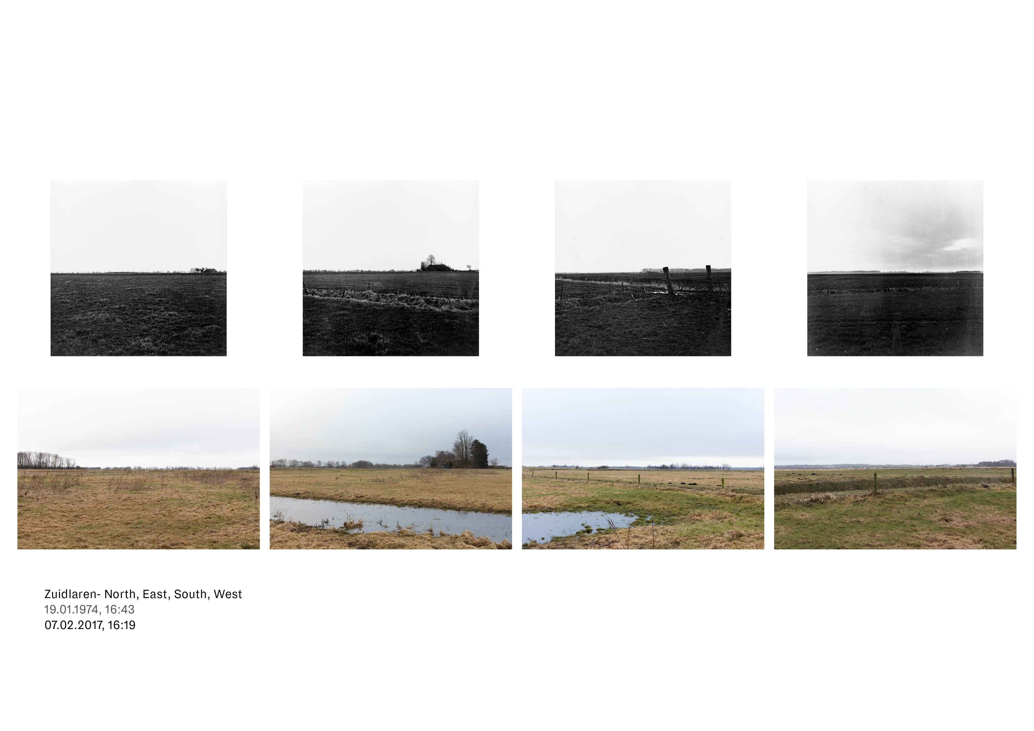
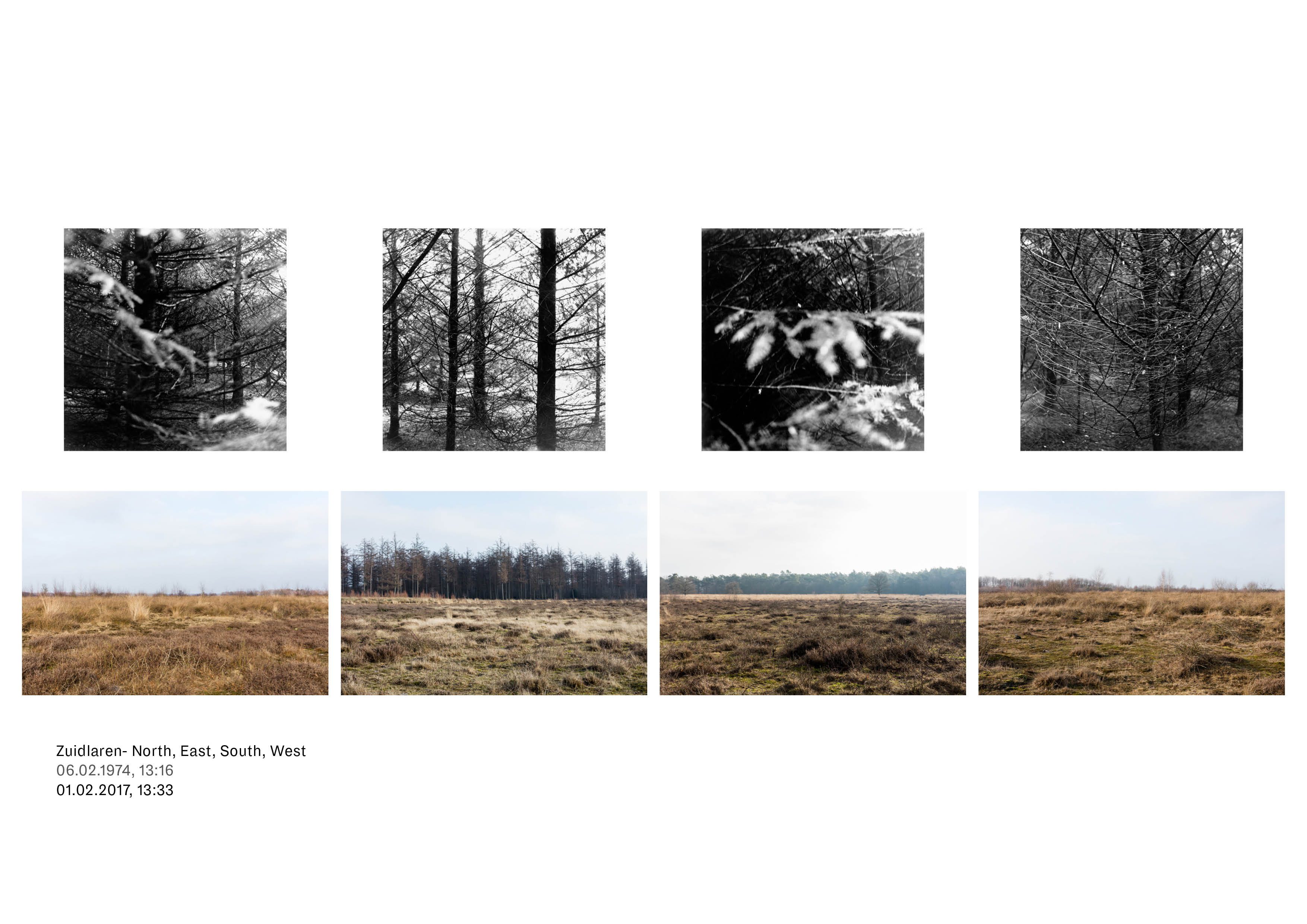
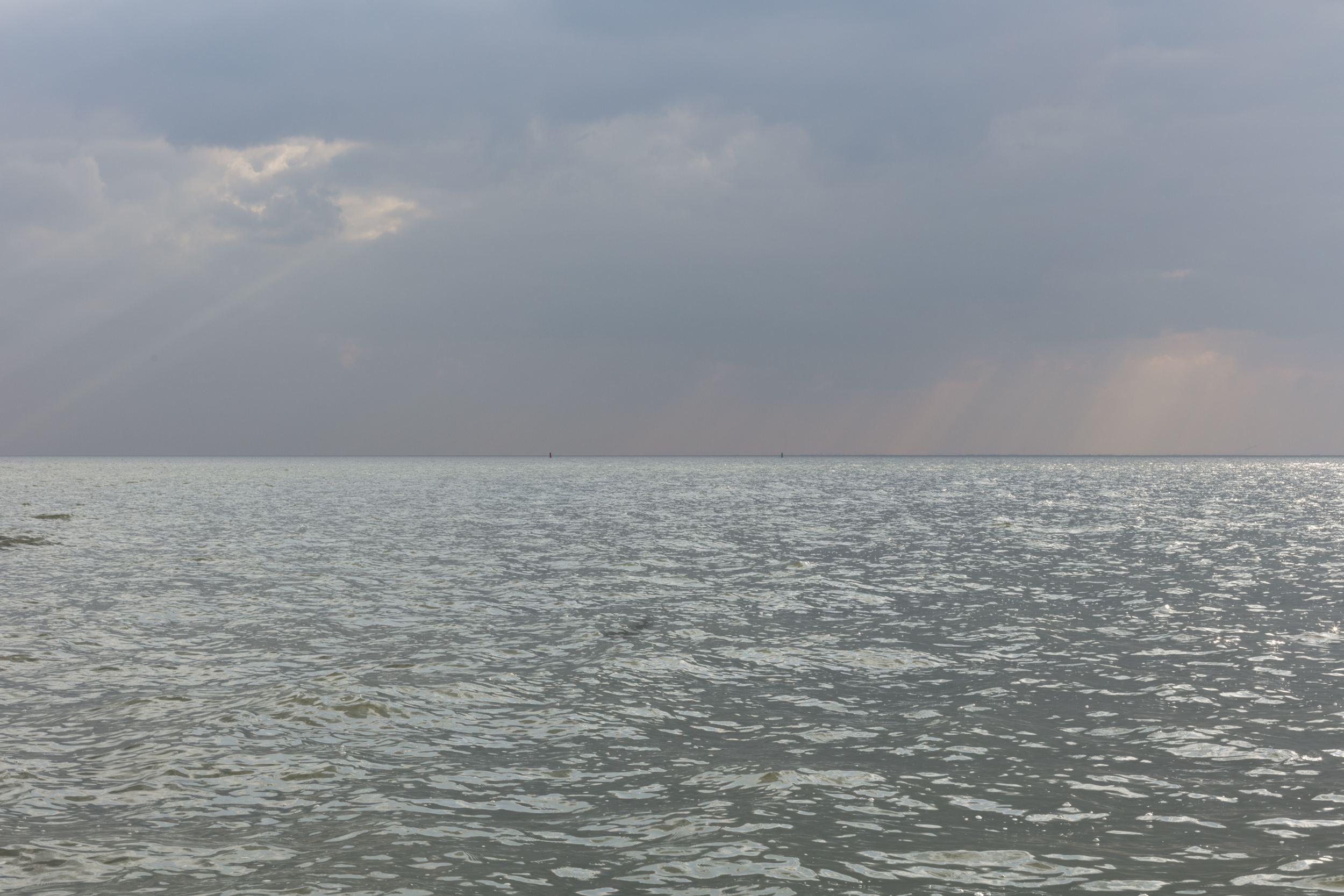
Objective Netherlands is a project originally initiated in 1974 by Reinjan Mulder, whose ambition it was to show the true spirit of The Netherlands. Driven by the question ‘What does our country really look like?’, he developed a photographic experiment in which there would not be any attention to composition, the beauty of a place, or to recognisable Dutch landmarks.
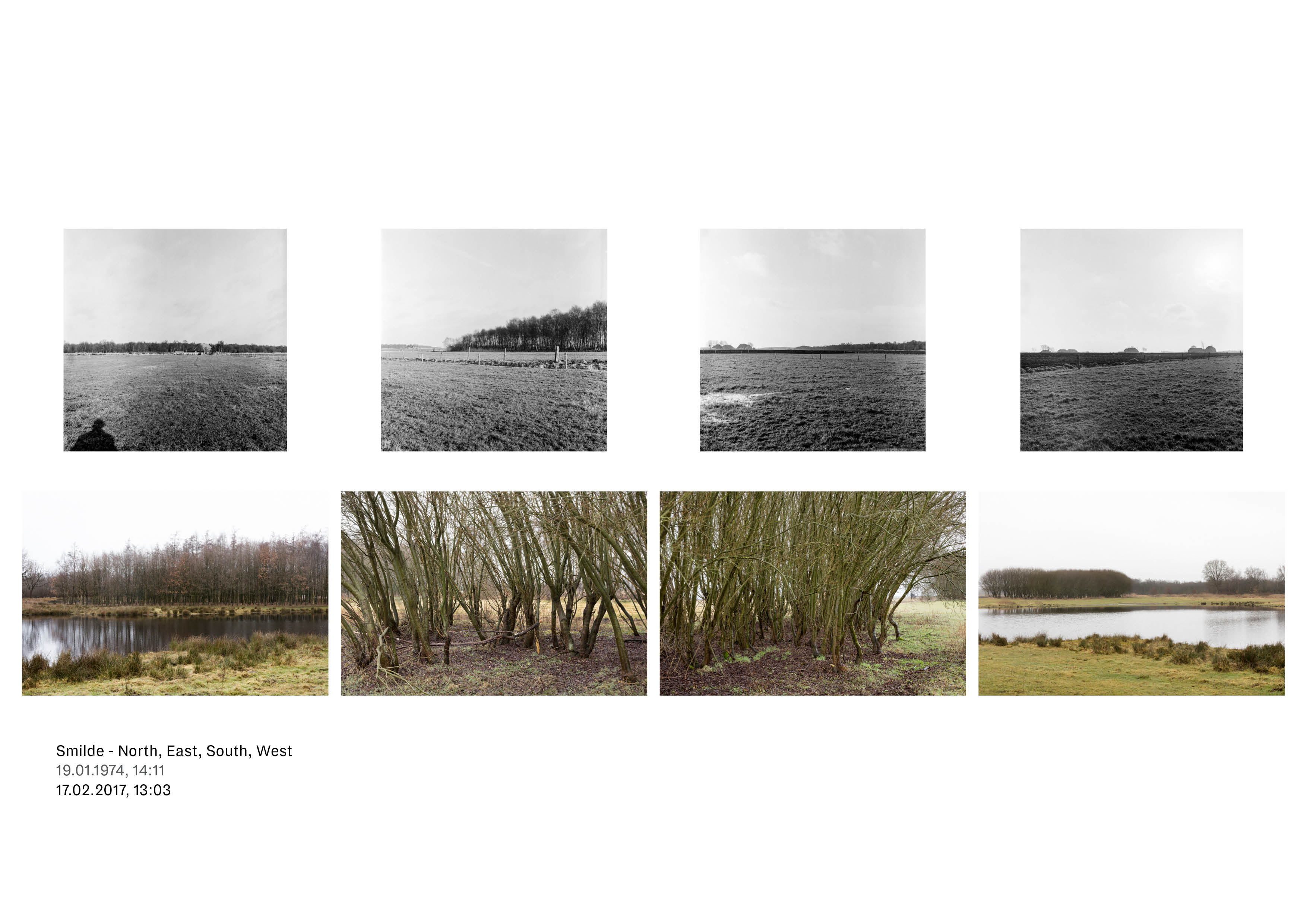
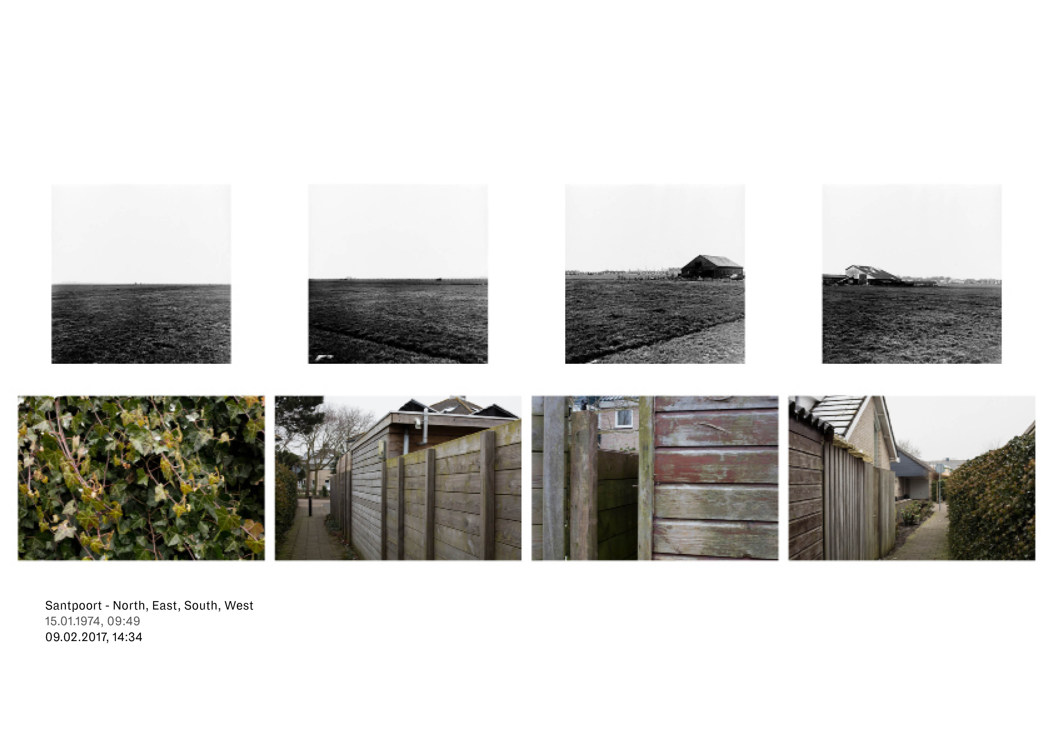
He developed a dogmatic method to photographically depict the country by applying a diagonal, square grid over the entirety of the Netherlands, defining 52 locations. Here, he would take four photographs—north, east, south and west—resulting in a catalogue of 208 images that represented the Dutch landscape.
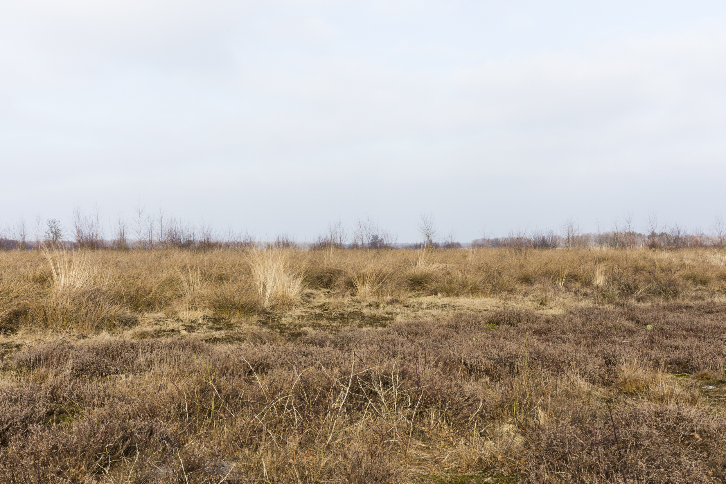
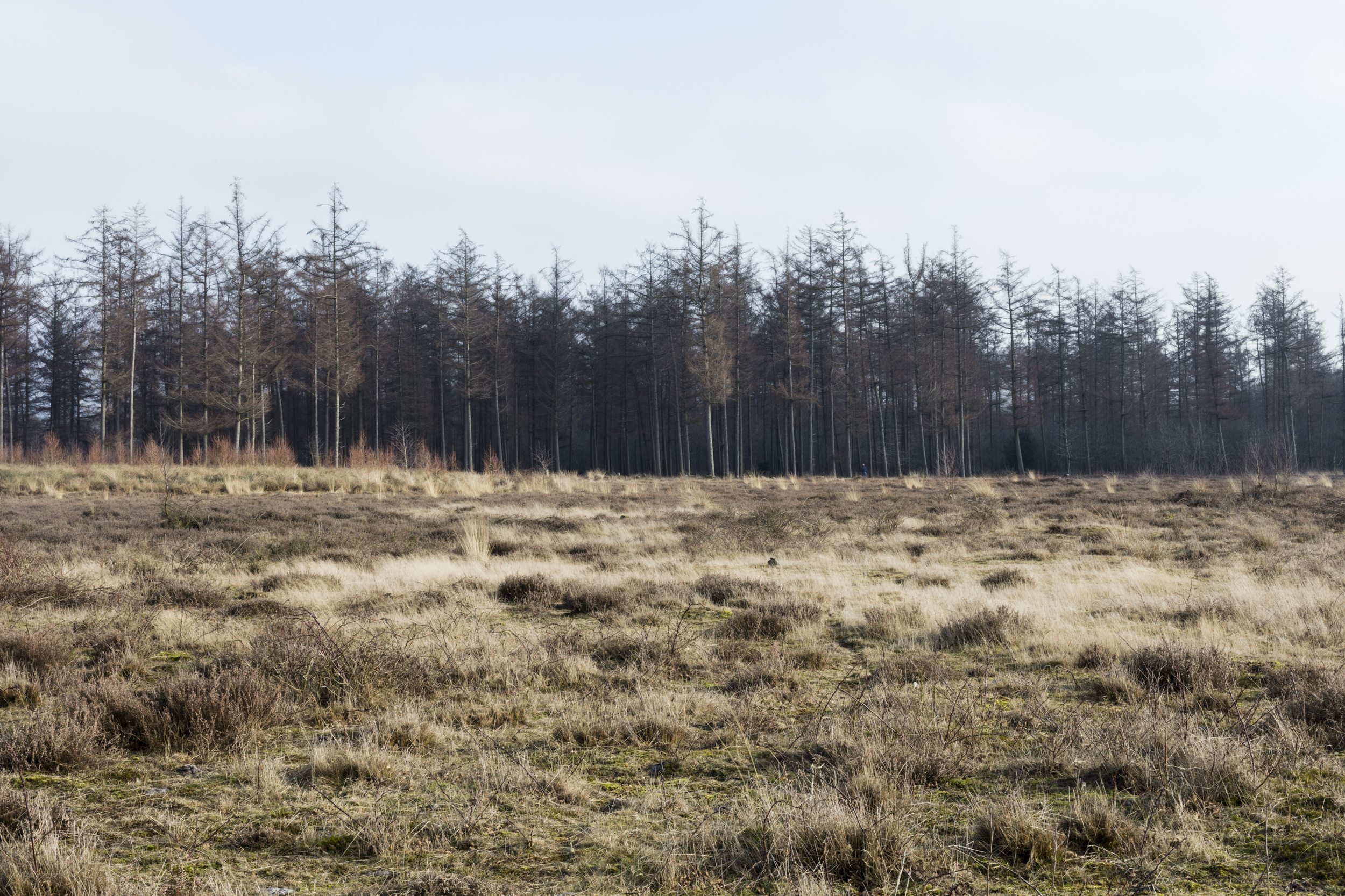
The result was a catalogue of 208 images that showed the “objective” and varied Dutch landscape.
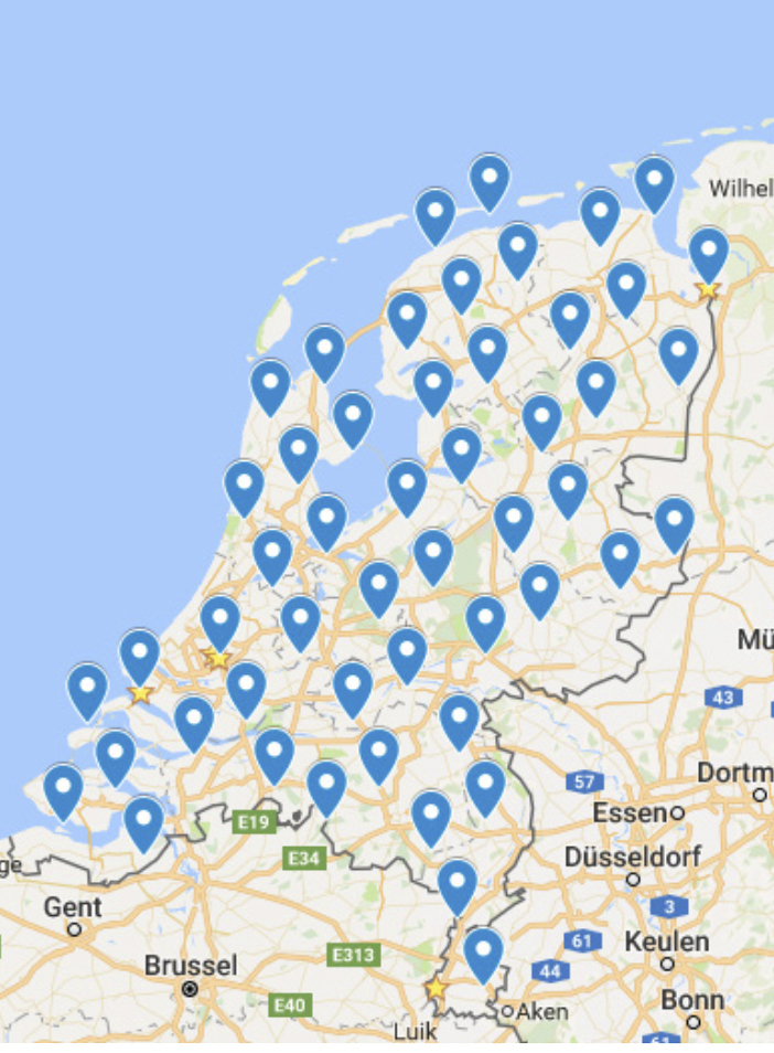
In 2017, I was commissioned by the Governmental Advisor for Physical Living Environment Berno Strootman (College voor Rijksadviseurs) to repeat and translate the project to current times. To see what had changed, and to explore the possibilities of Photography in landscape-monitoring.
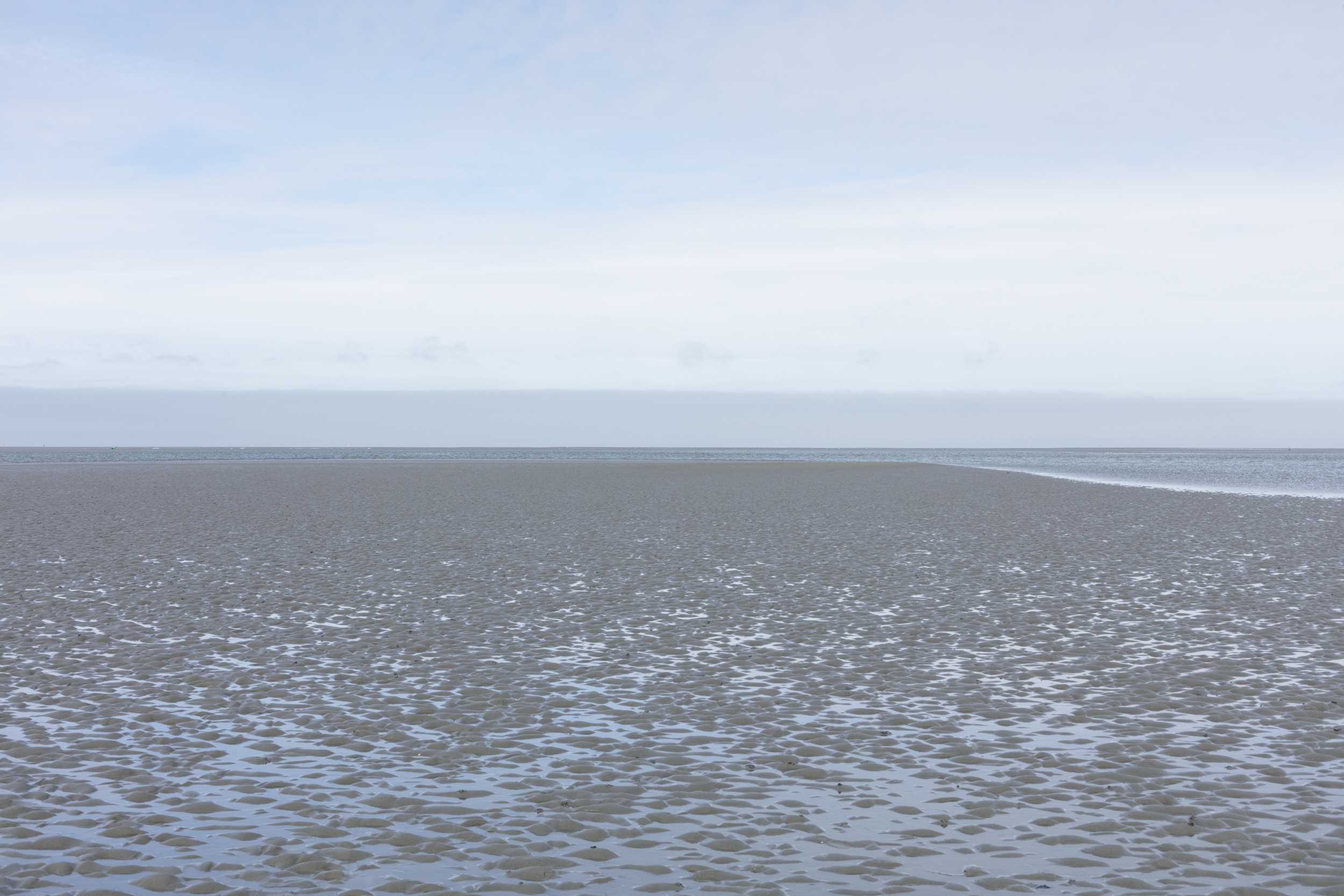
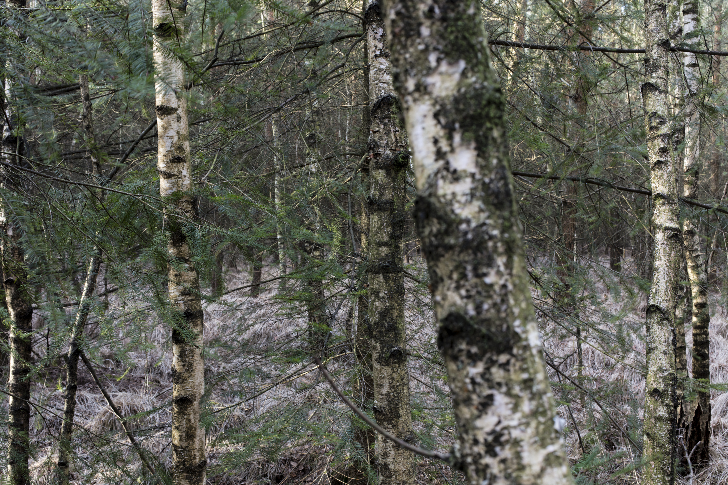
I succesfully traced back and documented the places. The outcome is a cross-section of the Netherlands, a temporal comparison and a historic documentation of the Netherlands mid- 2010s.
Commission & supervision: Berno Strootman and Gijs Frieling (The Board of Government Advisors)
Our special thanks go to everyone who made this project possible by granting permission and/or providing access to locations.
Find More information on the project website.




Publication

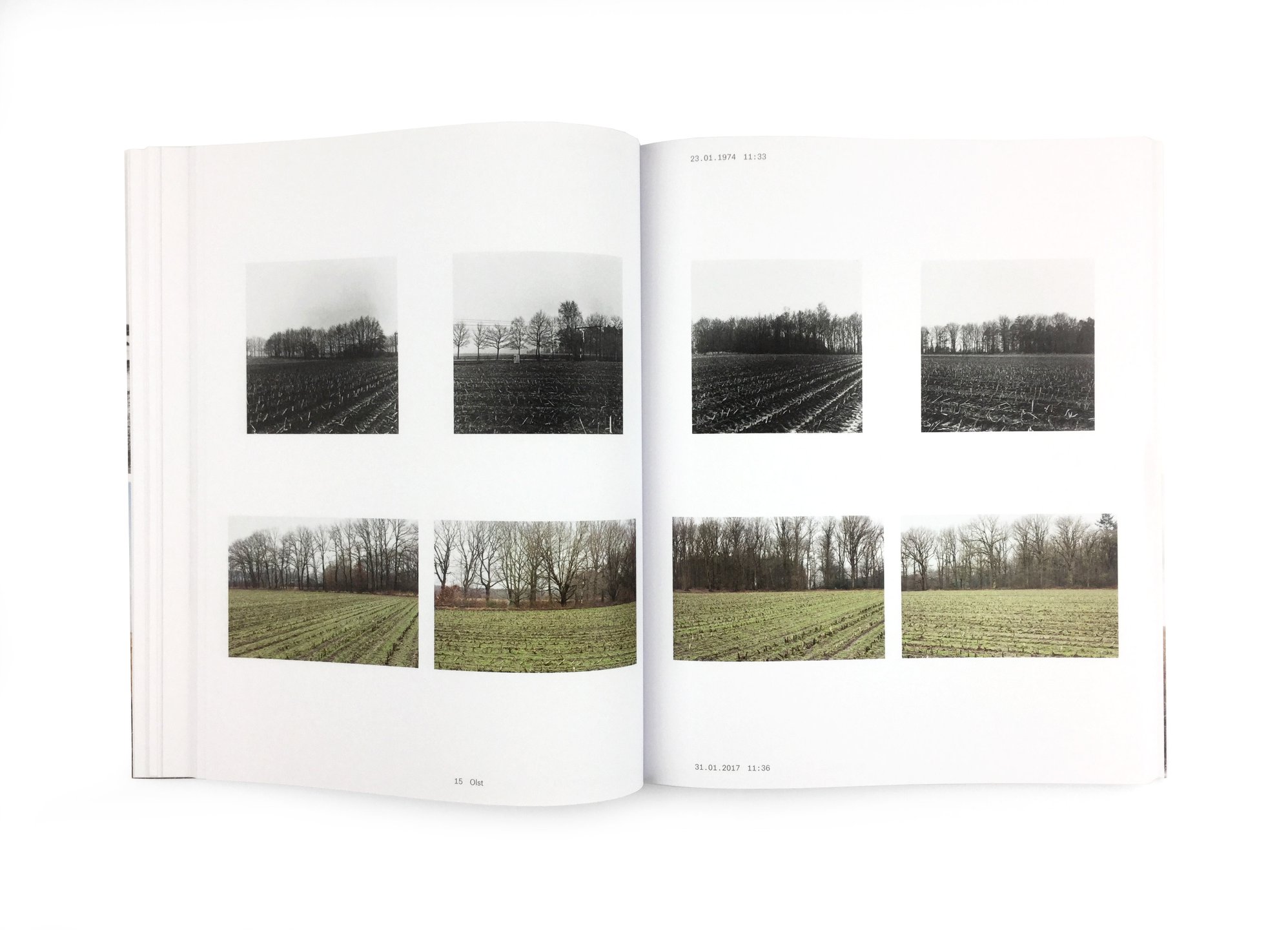

* Publication
Objectief Nederland, Changing Landscape 1974 — 2017 by Cleo Wächter and Reinjan Mulder, Published by Nai010, Design by Studio Joost Grootens, Accompanying essays by Merel Bem, Henk Baas, Berno Strootman, Peter Delpeut and Ludo van Halem, With support from: Creative Industries Fund NL, the Cultural Heritage Agency of the Netherlands, NH Bos Foundation, Babel & Voss, and the Charema Fonds, managed by the Prins Bernhard Cultuurfonds.
Presentation
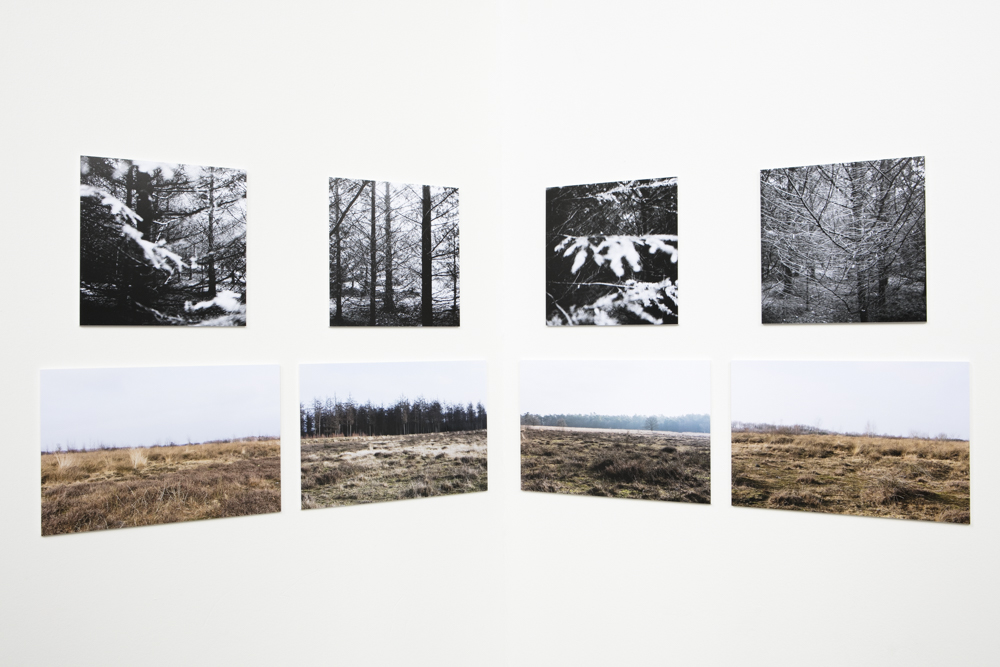
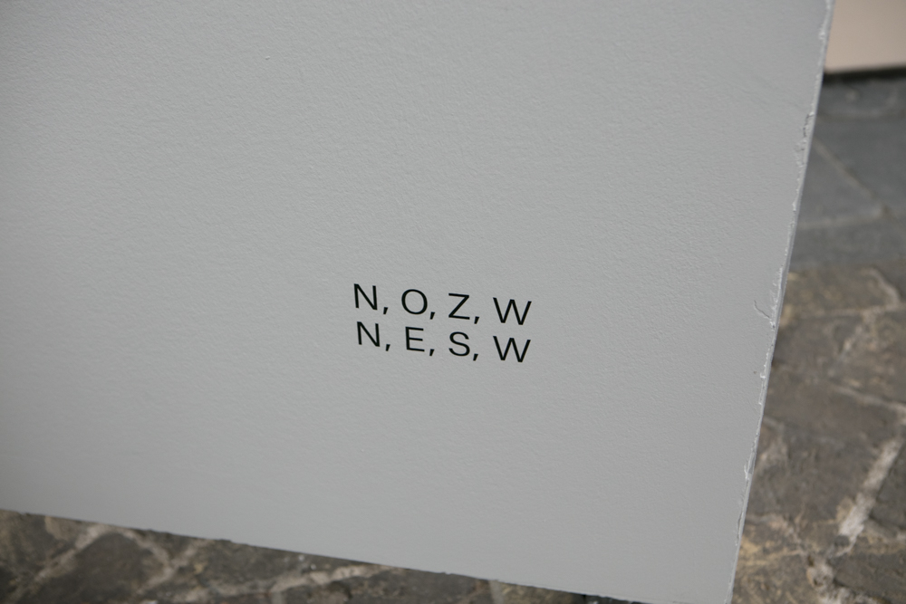
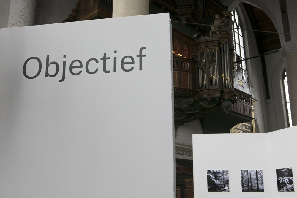
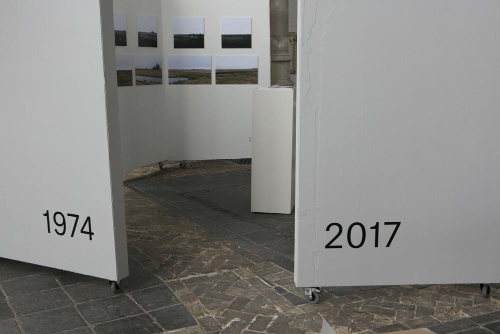

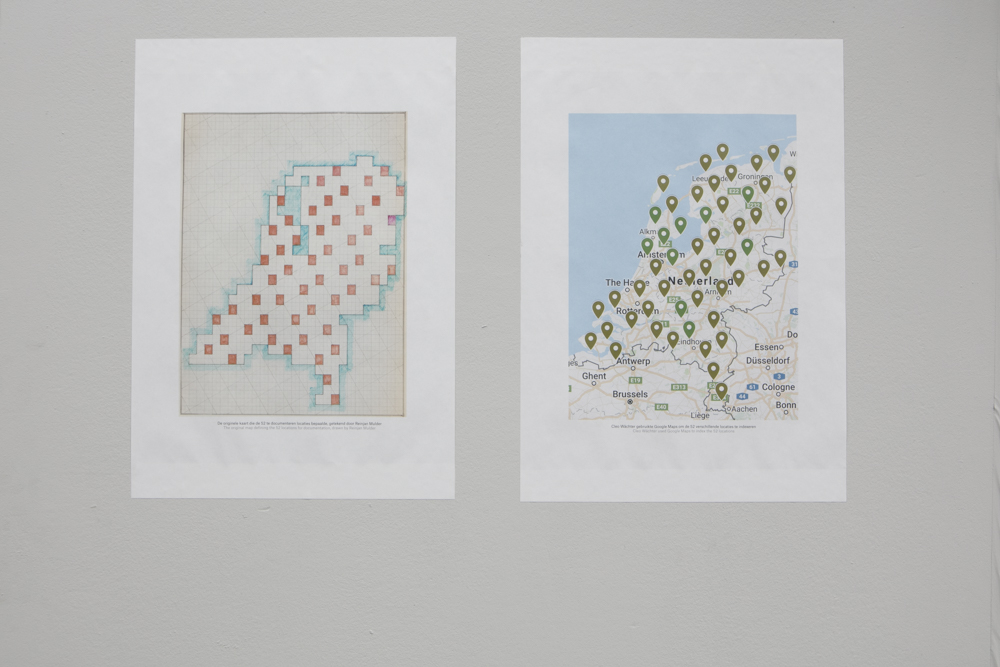


Fotofestival Schiedam (2021)
Project Website

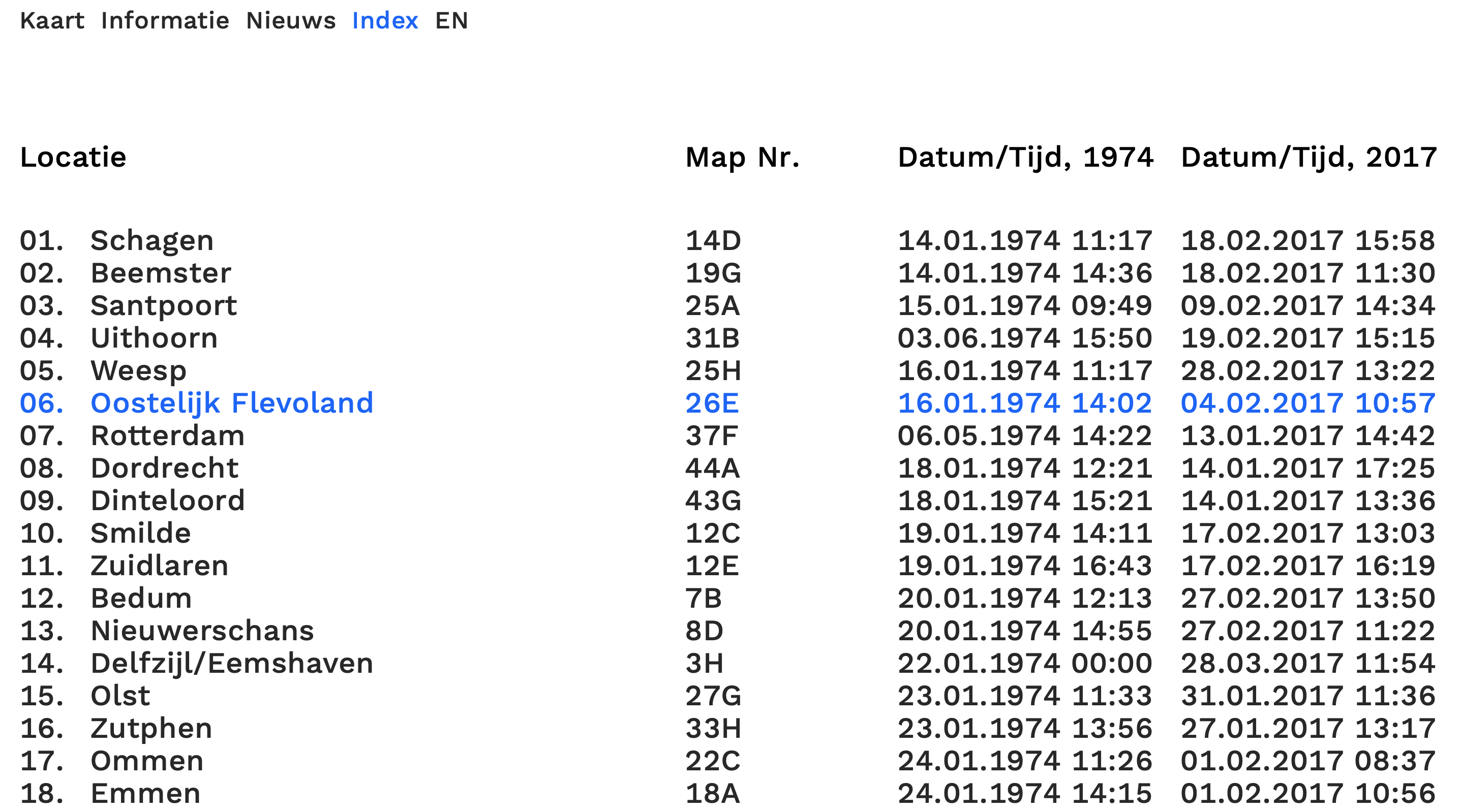
www.objectiefnederland.nl
Bi-langual web-site showing all 52 locations of ‘Objectief Nederland’.Art Direction, website: Cleo Wächter
Design, website: Kasper Pyndt Rasmussen
Development, website: Sepus Noordmans
Commisioned by: Rijksadviseur Fysieke Leefomgeving, College van Rijksadviseurs